top of page


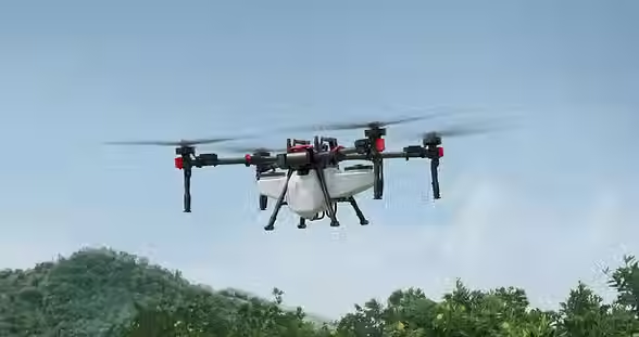
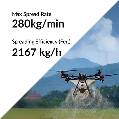
XAG P150 Specs


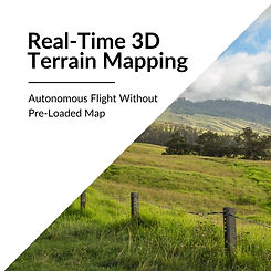
XAG RealTerra System
Mounted with the XAG RealTerra System, the P150 can capture high-definition images during autonomous flights. The images will be automatically stitched into field maps and exported right after landing. Up to 13.3 hectares of farmland can be surveyed in a single flight.

Ready to buy or want to learn more?
Get in touch today. We can help you through the process from start to finish. Connecting you with the right people for licensing. Advising on efficient trailer setups and most importantly supplying you with the top-of-the-line XAG spray drones built for Agriculture!

Get in Touch
Cambridge, Waikato
We service the wider Waikato region, including Waipa, Waitomo, King Country, Bay of Plenty and Auckland.


bottom of page